Got you covered!
Our certified pilots have the expertise required to perform aerial data collection across a variety of industries and in the most challenging environments. Because we are hardware and software agnostic, we can fly with the UAS equipment that best suits your desired results.
Whether you need LiDAR, multi-spectral cameras, radiometric thermal sensors, or a simple flight, DroneHive is the best partner to fulfill your data collection needs.
Read our industry specific case studies below.
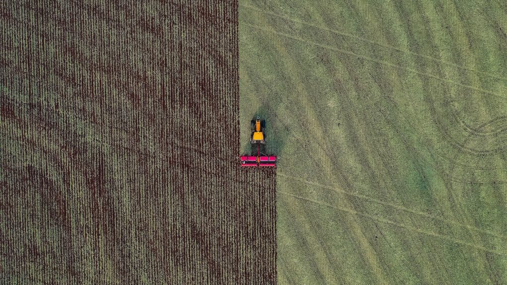
Agriculture
Using advanced scouting technology to survey more acreage with faster results than traditional farm tools, farmers can produce higher yields and minimize crop loss.

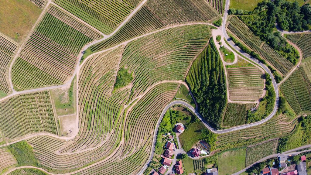
Civil Engineering
By combining aerial data with ground-based positioning data, firms can reach unmatched precision & speed thereby operating more efficiently & making faster decisions.

Construction
From initial planning to post-project maintenance, aerial data collection using DroneHive enables leaders to make smarter decisions that enhance business outcomes.
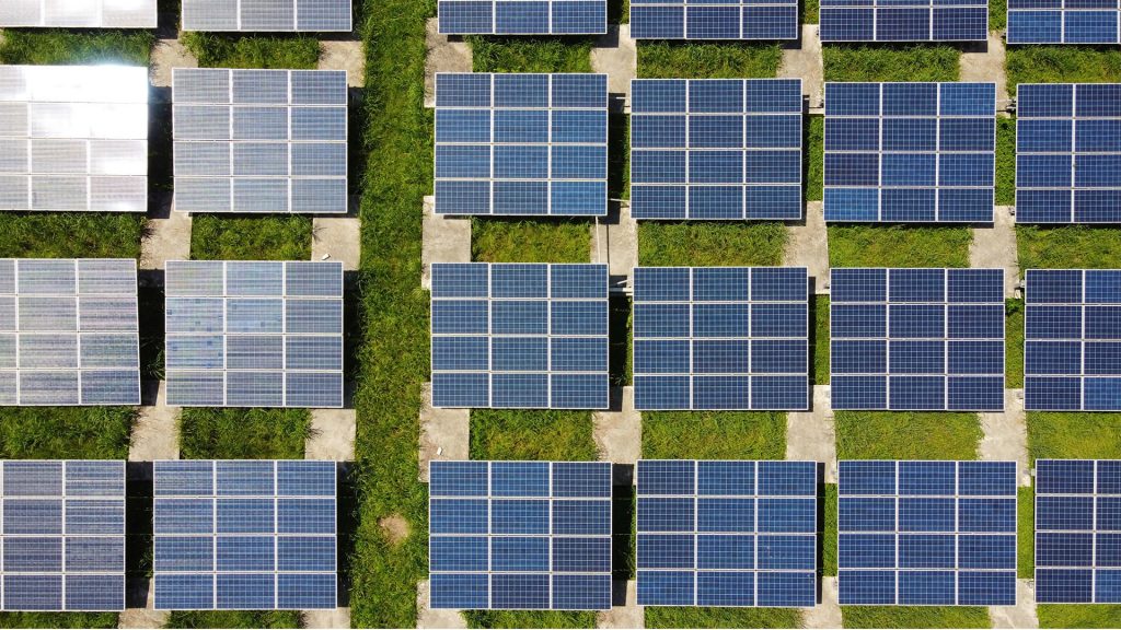
Environmental – Case Study 1
Drone technology is revolutionizing land conservation & restoration projects. Aerial data minimizes exposure to risky environments while saving time in surveys & planning.

Environmental – Case Study 2
Drone technology is revolutionizing land conservation & restoration projects. Aerial data minimizes exposure to risky environments while saving time in surveys & planning.


Property Management
Why pay more than you have to for hazardous inspection work performed by people on the ground? Get it done faster and more efficiently with DroneHive.

Real Estate
For commercial real estate investors and property developers with reach beyond a single geographic market, DroneHive is a valuable & trusted aerial services partner.